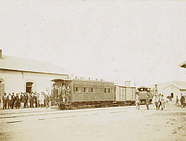
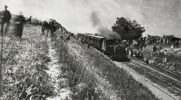
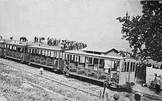
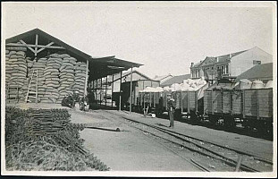
Chemin de Fer Moudania Brousse
The new Bursa metro revives the memory of the ill fated "Chemin de Fer Moudania Brousse", a narrow gauge line that once existed in Bursa.
The following text about the Bursa Mudanya Railway is quoted from "Steam in Turkey" by E.Talbot:
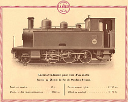
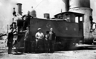
However that may be, on 2nd January 1891 George Nagelmackers paid £27,000 for the existing track and materials, and undertook to open the line. In August he formed the Chemin de fer de Moudania-Brousse, the Société des Batignolles rebuilt the line to a gauge of one metre and on 17 July 1892 it opened. If the CFOA had used its concession to build a branch to Bursa, the Mudanya-Bursa Railway might have been more prosperous; but as things were, it was never more than a barely profitable local railway.
It was taken over by the TCDD in 1932 and was closed by 1948.
Line
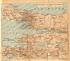
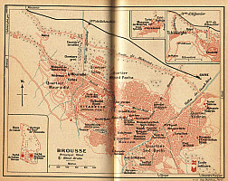
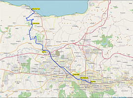
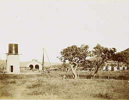
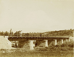
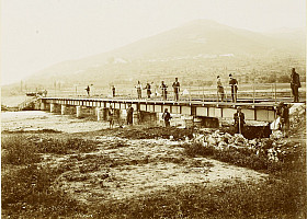
This 42 km line ran from the Mudanya harbor where the train offered direct connection with the boat from Istanbul. Less than a kilometer after the Mudanya, the line made a sharp turn to the right, leaving the seaside, to start climbing the hills. The summit is reached at kilometer point 11, shortly after Yörükali station, at an altitude of 217 meters. Then the lines goes down for another 10km to the Nilüfer river valley. Both the climb and the descent have an almost constant incline of 2% achieved thanks to several meanders along the hills contour lines. At the bottom of the descent, there was a station known as Koru which was about midway along the line. This station did not seem to serve any meaningful village, but was needed to provide water to the locomotives. From Koru, the landscape if fairly flat all the way to Bursa. The line crossed the Nilüfer river twice: once shortly before Koru, and a second time before the station of Çekirge. After Çekirge, the line reached Mudanye station, now known as Merinos station. This station was closer to the historic monuments of Bursa that the terminal station which was past the Eski Gemlik Yolu, to the east of the city at the time. The line stopped short of crossing the Gökdere river. It is said the terminus location on the northern edge of city was conveniently chosen to extend the line towards Bözüyük, where it could provide a connection to the Istanbul Ankara line. In reality, Bözüyük is 100km away, at an altitude of about 900m on the Anatolian plateau. This was beyond reach for the modest Chemin de Fer Moudania Brousse.
The Bursaray is a distant relative of the Moudania-Brousse Railway. Since 1948, Bursa grew very much and increased its position as one of Turkey most industrial city. the Moudania-Brousse Railway which would have been in the countryside at the time, would be now in a densely urbanized area, at least until the Balat. The modern alignment of Bursaray branch to Balat is not very far from the old railway.
https://en.wikipedia.org/wiki/Chemin_de_Fer_Moudania_Brousse

